Gaviota Creek Geomorohic and Fish Passage Assessment
Location: Gaviota State Park, Santa Barbara County, California
Client/Partners: California Department of Fish and Wildlife (CDFW) and Stoecker Ecological
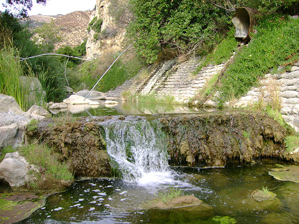
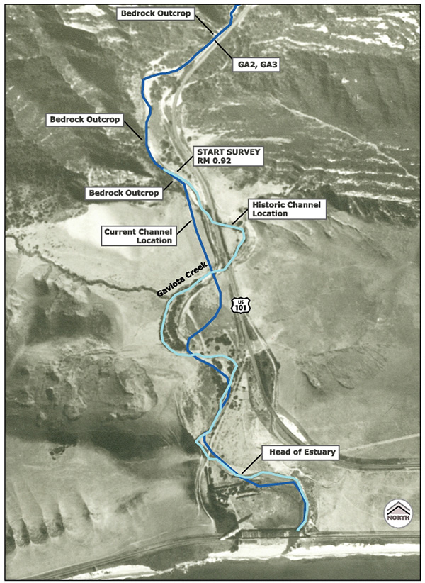


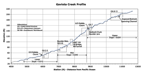
Michael Love & Associates (MLA) performed a geomorphic assessment of lower Gaviota Creek, with focus on 15 grade control structures that span the channel and partially block steelhead access to upstream habitat in this unique Southern California coastal watershed. Activities included:
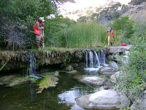
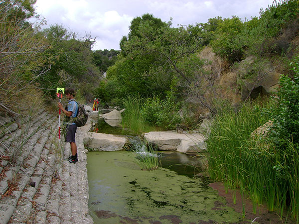
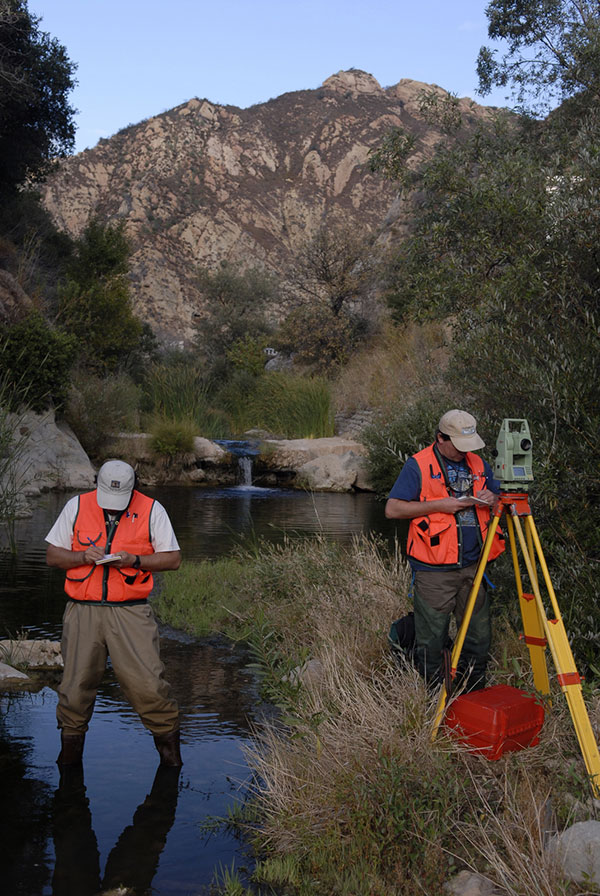
- Topographic survey of over 7,000 feet of channel, including channel cross sections and profiles,
- Survey-based geomorphic mapping of channel, including bedrock, boulders and pools affecting channel morphology and fish passage,
- Evaluation of stable channel profile and degree to which grade control is forcing existing channel profile
- Computation of low and high fish passage flows using USGS stream gaging data,
- Assessment of existing fish passage conditions using CDFW protocols,
- Hydraulic assessment using FishXing and HEC-RAS models for evaluating conformance to CDFW and NOAA fish passage criteria,
Assessment of geomorphic effects on fish passage, including bed variability, slope, flow velocities, water surface drops, pool depths, bank stability, and manmade constraints.
MLA developed of recommendations for improving fish passage and geomorphic restoration, including constructing boulder weirs downstream of large drops to reduce the drop height, rearrangement of boulders to create more passable conditions, creation of deep leaping pools downstream of high drops, channel realignment and bank stabilization.