Salmon Creek Estuary Expansion
Location: Humboldt Bay National Wildlife Refuge, California
Client and Partners: US Fish & Wildlife Service, Pacific Coast Fish, Wildlife, and Wetlands Restoration Association, California Department of Fish and Wildlife.


Michael Love & Associates (MLA) served as the project’s engineers for restoring estuarine conditions to the diked and drained Salmon Creek estuary along Humboldt Bay. MLA developed an restoration planning document to guide the multi-phased restoration activities on the Humboldt Bay National Wildlife Refuge. Following selection of the preferred alternative, MLA developed final construction plans, specifications, and cost estimates. The project was constructed in two phases.
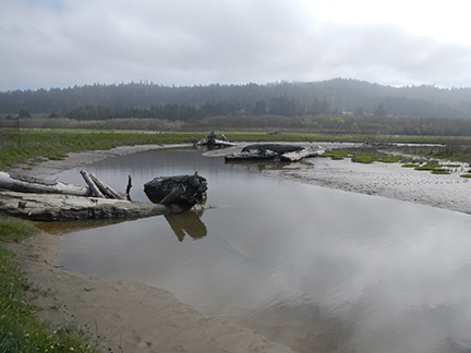
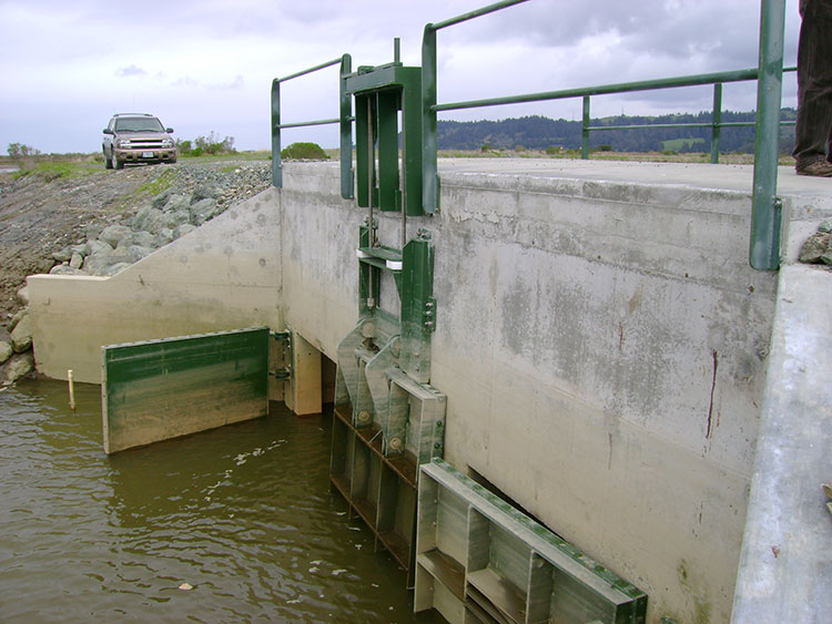
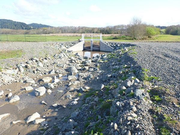
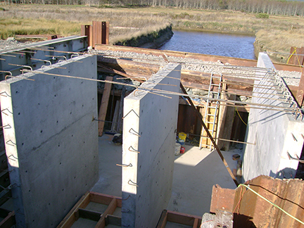
Phase 1 improvements, constructed in 2007-2008, included hydraulic, and civil design of two new tide gate structures to provide fish passage, reintroduce a muted tide to the Refuge, enlarge the and restore estuarine function, and increase flood conveyance to reduce upstream flooding and sedimentation.
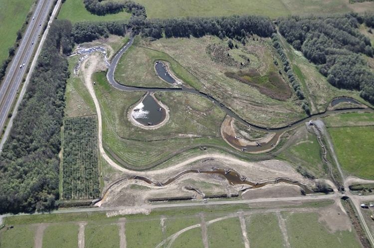
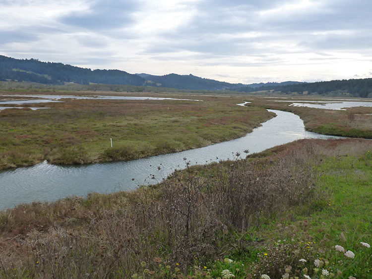
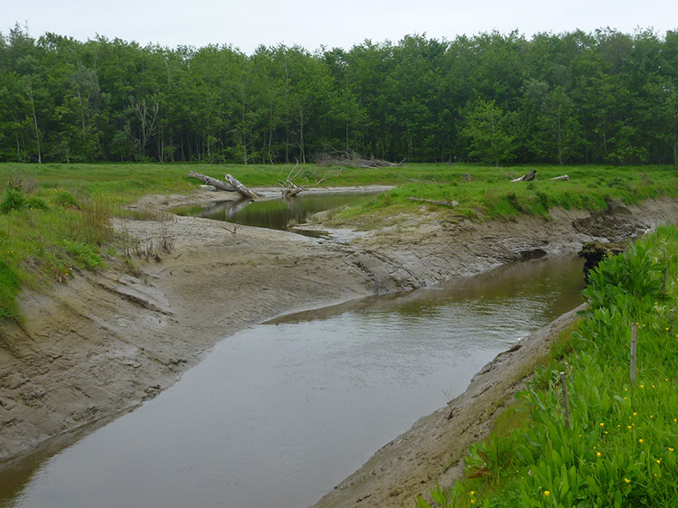
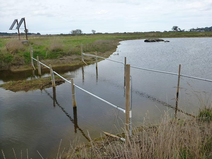
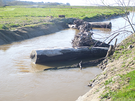
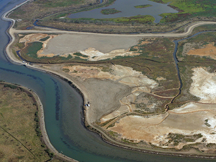
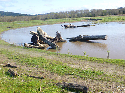
Phase 2 improvements, constructed in 2010-2011, included design and construction of 4,000 feet of new tidal slough channel, four off-channel ponds totaling 2 acres, and 20 complex wood structures using more than 100 logs and rootwads. The design process included extensive modeling of both tidal and streamflow conditions using unsteady state hydraulic models, tidal channel geometry relationships, sediment transport analysis, and evaluation of soil properties and salinity data to predict rates of channel adjustment in response to the increased tidal prism.
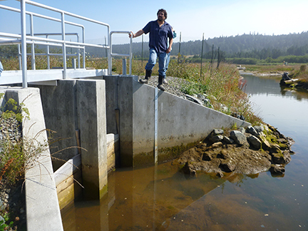
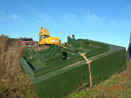
As part of Phase 2, MLA designed a new water control structure used to divert water from Salmon Creek to freshwater ponds on the Refuge used extensively by waterfowl. The unique water control structure was designed to take surface water from the upper portion of the water column during elevated flows in Salmon Creek, thus avoiding diverting brackish waters to freshwater ponds. It also included a pools and weir fishway to allow juvenile salmonids the ability to move into and out of these freshwater ponds. It
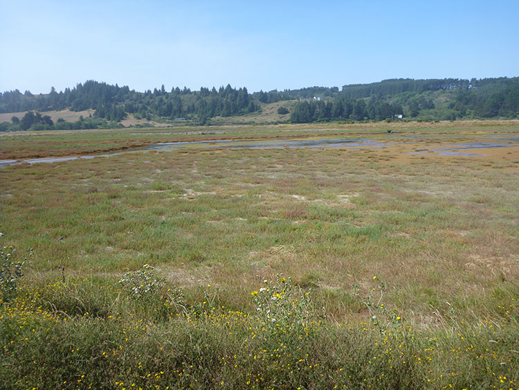
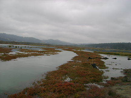
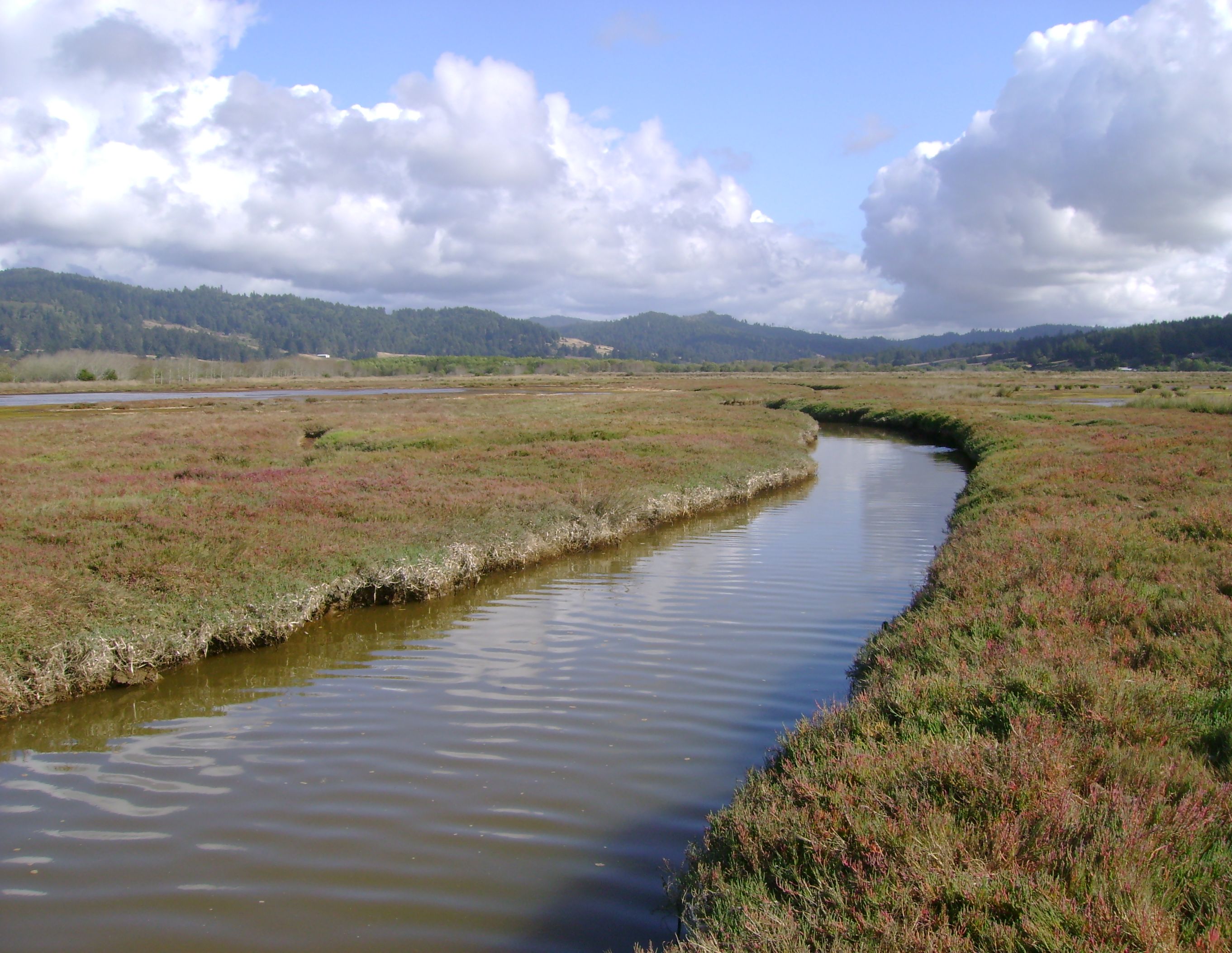
MLA surveyed existing vegetation to establish the native saltmarsh elevations and used the data to develop new saltmarsh plain topography with self-scouring low-order tidal channels. New salt marsh was created with the approximately 34,000 cubic yards of soil excavated to form the new channel and off-channel ponds.
During project implementation MLA provided construction oversight services. Staff directed placement, arrangement, and anchoring of the complex wood structures in ponds and slough channels to create cover for freshwater and marine fish species and generate a variety of geomorphic responses. Large old growth redwood uncovered during excavation was also incorporated into the wood structures. This project has served as an example project for various field tours and workshops about estuarine channel design and wetland restoration.